






DC Metro Transit - Free

Beschreibung von DC Metro Transit - Free
DC Metro Transit (Free) is an ad-supported mobile interface for WMATA (Metro and Bus) and other local agencies. A paid, ad-free, version is also available.
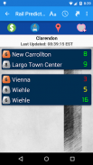
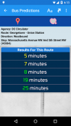
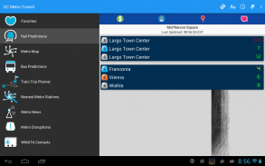
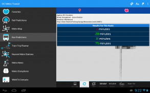
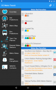
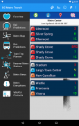
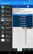
Get real-time predictions for DC Metrorail, Metro Bus, Arlington Transit (ART), DC Circulator, PG County - The Bus, Fairfax CUE, GMU Shuttle, and UMD Shuttle. Keep track of your favorite stations and sort them however you like!
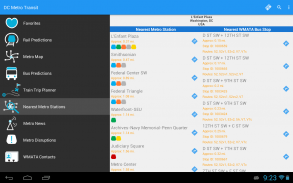
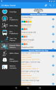
Find your way to the nearest Metrorail stations and WMATA bus stops by using your devices GPS with the “Nearest Stations” feature. Once you have your results, one click will get you turn by turn directions with Google Maps.
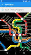
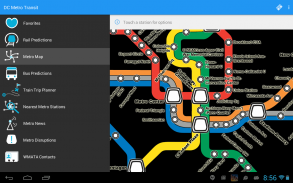
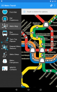
Use our interactive map of the Metrorail system to find your way around. Having trouble finding a station entrance?
Click a station on the map and choose “Street View” and have a look around.
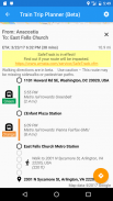
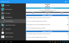
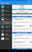
The train trip planner will help you to plan your station-to-station trip, help you with transfers, and provide time, distance, and fare estimates for your trip.
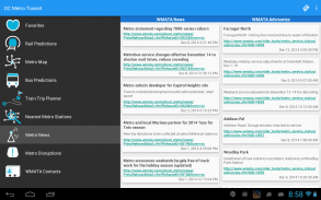
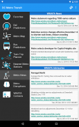
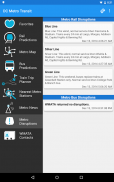
Keep up to date with the latest News, Advisories, and system outages that may impact your commute.
**If you run into issues, please email the support email address. The support email is monitored daily and is the fastest way to get a resolution!**DC Metro Transit (Free) ist eine werbefinanzierte Handy-Schnittstelle für WMATA (U-Bahn und Bus) und anderen lokalen Agenturen. Eine bezahlte, werbefreie Version ist ebenfalls verfügbar.
Holen Sie sich Echtzeit-Vorhersagen für DC Metrorail, Metro-, Bus, Arlington Transit (ART), DC-Thermostat, PG County - The Bus, Fairfax CUE, GMU Shuttle und Shuttle UMD. Behalten Sie Ihre Lieblingssender und sortieren Sie wie Sie wollen!
Finden Sie Ihren Weg zu den nächstgelegenen Metrorail-Stationen und Bushaltestellen WMATA, indem Sie Ihre Geräte GPS mit dem "Nächster Sender"-Funktion. Sobald Sie Ihre Ergebnisse haben, werden mit einem Klick erhalten Sie von Wegbeschreibungen mit Google Maps machen.
Nutzen Sie unsere interaktive Karte der Metrorail-System, um sich zurechtzufinden. Probleme bei der Suche eine Bahn-Eingang?
Klicken Sie auf eine Station auf der Karte und wählen Sie "Street View" und schauen Sie sich um.
Der Zug-Routenplaner wird Ihnen helfen, Ihre Reise von Station zu Station zu planen, helfen Sie mit Transfers und bieten Zeit, Entfernung und Fahrpreis-Schätzungen für Ihre Reise.
Bleiben Sie auf dem Laufenden mit den neuesten Nachrichten, Ankündigungen und Systemausfälle, die Ihre pendeln auswirken können.
** Wenn Sie in Probleme laufen, mailen Sie bitte das Support-E-Mail-Adresse. Die E-Mail-Unterstützung wird täglich überwacht und ist der schnellste Weg, um eine Auflösung zu erhalten! **


